
Sitra topographic map
Interactive map
Click on the map to display elevation.
About this map
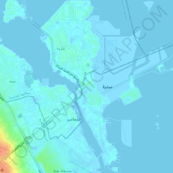
Name: Sitra topographic map, elevation, terrain.
Location: Sitra, Riffa, Southern Governorate, 604, Bahrain (26.10872 50.59757 26.18682 50.67164)
Average elevation: 3 m
Minimum elevation: -3 m
Maximum elevation: 41 m
Other topographic maps
Click on a map to view its topography, its elevation and its terrain.
Sitra
Bahrain > Southern Governorate > Riffa
Sitra, Riffa, Southern Governorate, 626, Bahrain
Average elevation: 2 m