
Surajkund topographic map
Interactive map
Click on the map to display elevation.
About this map
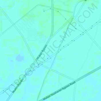
Name: Surajkund topographic map, elevation, terrain.
Location: Surajkund, Multan, Multān District, Punjab, Pakistan (30.12234 71.43127 30.14234 71.45127)
Average elevation: 123 m
Minimum elevation: 121 m
Maximum elevation: 126 m