
شهرستان شمیرانات topographic map
Interactive map
Click on the map to display elevation.
About this map
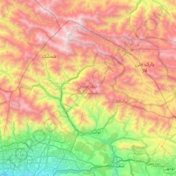
Name: شهرستان شمیرانات topographic map, elevation, terrain.
Location: شهرستان شمیرانات, Teerã, Irã (35.73673 51.33959 36.14010 51.87767)
Average elevation: 2,635 m
Minimum elevation: 1,260 m
Maximum elevation: 4,355 m
Other topographic maps
Click on a map to view its topography, its elevation and its terrain.