
Detling topographic map
Interactive map
Click on the map to display elevation.
About this map
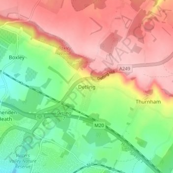
Name: Detling topographic map, elevation, terrain.
Location: Detling, Kent, South East, England, ME14 3JU, United Kingdom (51.27476 0.54908 51.31476 0.58908)
Average elevation: 114 m
Minimum elevation: 28 m
Maximum elevation: 203 m