
Sarli topographic map
Interactive map
Click on the map to display elevation.
About this map
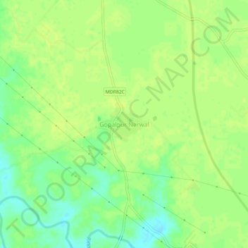
Name: Sarli topographic map, elevation, terrain.
Location: Sarli, Kānpur, Kanpur Dehat, Uttar Pradesh, India (26.18131 80.33164 26.22131 80.37164)
Average elevation: 121 m
Minimum elevation: 111 m
Maximum elevation: 125 m