
Lac des Prairies topographic map
Interactive map
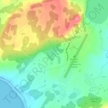
Click on the map to display elevation.
About this map
Name: Lac des Prairies topographic map, elevation, terrain.
Average elevation: 30 m
Minimum elevation: 0 m
Maximum elevation: 74 m
Other topographic maps
Click on a map to view its topography, its elevation and its terrain.
Colline White Fox
Canada > Québec > Blanc-Sablon
Colline White Fox, Blanc-Sablon, Le Golfe-du-Saint-Laurent, Côte-Nord, Québec, Canada
Average elevation: 37 m