
Metlaoui topographic map
Interactive map
Click on the map to display elevation.
About this map
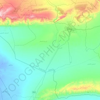
Name: Metlaoui topographic map, elevation, terrain.
Location: Metlaoui, Gafsa, 2130, Tunisie (34.05264 8.14638 34.41772 8.60301)
Average elevation: 190 m
Minimum elevation: -18 m
Maximum elevation: 870 m
Other topographic maps
Click on a map to view its topography, its elevation and its terrain.