
Tomares topographic map
Interactive map
Click on the map to display elevation.
About this map
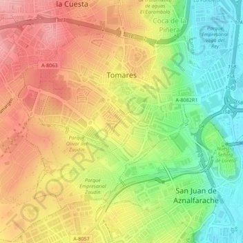
Name: Tomares topographic map, elevation, terrain.
Location: Tomares, Sevilla, Andalusia, 41940, Spain (37.35800 -6.06344 37.38189 -6.02179)
Average elevation: 68 m
Minimum elevation: 2 m
Maximum elevation: 127 m