
Ban Yang Pha Laka topographic map
Interactive map
Click on the map to display elevation.
About this map
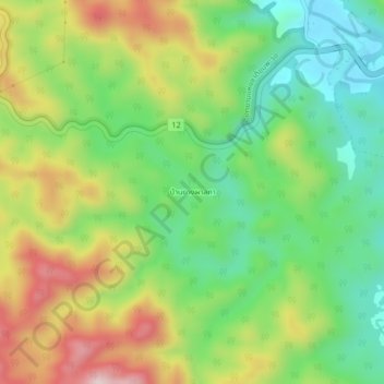
Name: Ban Yang Pha Laka topographic map, elevation, terrain.
Location: Ban Yang Pha Laka, Tak Province, Thailand (16.73000 98.71330 16.77000 98.75330)
Average elevation: 451 m
Minimum elevation: 278 m
Maximum elevation: 703 m