
Pasir Gudang topographic map
Interactive map
Click on the map to display elevation.
About this map
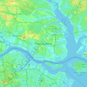
Name: Pasir Gudang topographic map, elevation, terrain.
Location: Pasir Gudang, Johor, 81700, Malaysia (1.30698 103.74228 1.62698 104.06228)
Average elevation: 20 m
Minimum elevation: -8 m
Maximum elevation: 167 m