
Hvorslev topographic map
Interactive map
Click on the map to display elevation.
About this map
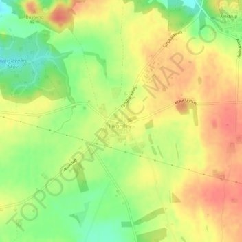
Name: Hvorslev topographic map, elevation, terrain.
Location: Hvorslev, Favrskov Kommune, Jutland central, Danemark (56.36427 9.76243 56.36982 9.77103)
Average elevation: 68 m
Minimum elevation: 35 m
Maximum elevation: 92 m