
Güexes topographic map
Interactive map
Click on the map to display elevation.
About this map
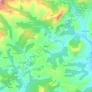
Name: Güexes topographic map, elevation, terrain.
Location: Güexes, Asturias, 33540, Spain (43.37166 -5.23620 43.41166 -5.19620)
Average elevation: 170 m
Minimum elevation: 32 m
Maximum elevation: 488 m