
San Eduardo topographic map
Interactive map
Click on the map to display elevation.
About this map
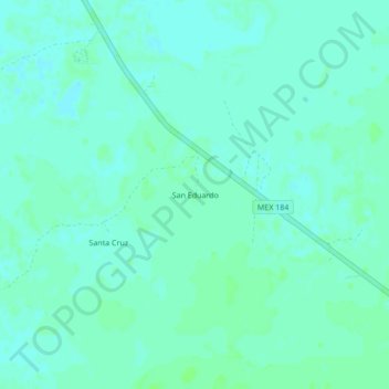
Name: San Eduardo topographic map, elevation, terrain.
Location: San Eduardo, Tecoh, Yucatán, México (20.59547 -89.46803 20.63547 -89.42803)
Average elevation: 15 m
Minimum elevation: 11 m
Maximum elevation: 18 m