
Holten topographic map
Interactive map
Click on the map to display elevation.
About this map
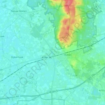
Name: Holten topographic map, elevation, terrain.
Location: Holten, Rijssen-Holten, Overijssel, Netherlands (52.24215 6.32653 52.32569 6.47708)
Average elevation: 17 m
Minimum elevation: 7 m
Maximum elevation: 67 m