
Ballygolan topographic map
Interactive map
Click on the map to display elevation.
About this map
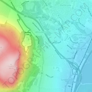
Name: Ballygolan topographic map, elevation, terrain.
Average elevation: 98 m
Minimum elevation: 0 m
Maximum elevation: 364 m
Other topographic maps
Click on a map to view its topography, its elevation and its terrain.
Low Wood
United Kingdom > Northern Ireland > Belfast
Low Wood, Belfast, County Antrim, Northern Ireland, United Kingdom
Average elevation: 64 m