
La Bruyère topographic map
Interactive map
Click on the map to display elevation.
About this map
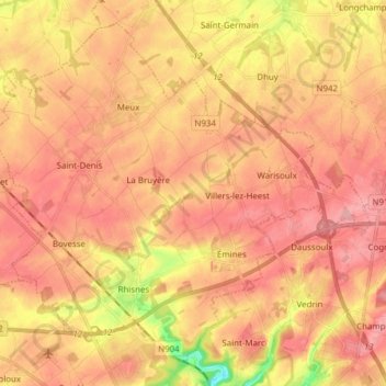
Name: La Bruyère topographic map, elevation, terrain.
Location: La Bruyère, Namur, Wallonia, Belgium (50.48687 4.74456 50.57336 4.89851)
Average elevation: 172 m
Minimum elevation: 100 m
Maximum elevation: 208 m