
Shirsad topographic map
Interactive map
Click on the map to display elevation.
About this map
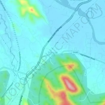
Name: Shirsad topographic map, elevation, terrain.
Location: Shirsad, Thane, Maharashtra, India (19.45642 72.87823 19.49642 72.91823)
Average elevation: 34 m
Minimum elevation: -1 m
Maximum elevation: 242 m