
Kleinhöflein topographic map
Interactive map
Click on the map to display elevation.
About this map
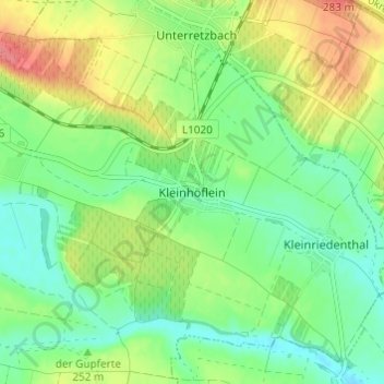
Name: Kleinhöflein topographic map, elevation, terrain.
Location: Kleinhöflein, Bezirk Hollabrunn, Lower Austria, 2074, Austria (48.72959 15.98177 48.76959 16.02177)
Average elevation: 238 m
Minimum elevation: 211 m
Maximum elevation: 282 m