
Kudal topographic map
Interactive map
Click on the map to display elevation.
About this map
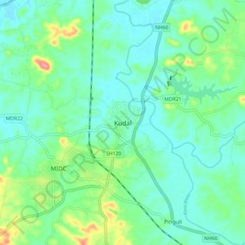
Name: Kudal topographic map, elevation, terrain.
Location: Kudal, Sindhudurg, Maharashtra, 416520, India (15.96929 73.64875 16.04929 73.72875)
Average elevation: 29 m
Minimum elevation: 3 m
Maximum elevation: 111 m