
Maryland Park topographic map
Interactive map
Click on the map to display elevation.
About this map
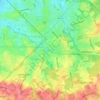
Name: Maryland Park topographic map, elevation, terrain.
Location: Maryland Park, Prince George's County, Maryland, 20743, USA (38.86845 -76.92692 38.90845 -76.88692)
Average elevation: 48 m
Minimum elevation: 10 m
Maximum elevation: 93 m