
Kothapalle topographic map
Interactive map
Click on the map to display elevation.
About this map
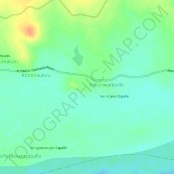
Name: Kothapalle topographic map, elevation, terrain.
Location: Kothapalle, Sri Potti Sriramulu Nellore, Andhra Pradesh, India (14.56555 79.46264 14.60555 79.50264)
Average elevation: 62 m
Minimum elevation: 49 m
Maximum elevation: 89 m