
Nanmangalam topographic map
Interactive map
Click on the map to display elevation.
About this map
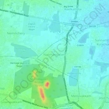
Name: Nanmangalam topographic map, elevation, terrain.
Location: Nanmangalam, Sholinganallur, Tamil Nadu, 600117, India (12.91822 80.15825 12.95822 80.19825)
Average elevation: 13 m
Minimum elevation: 3 m
Maximum elevation: 51 m
Other topographic maps
Click on a map to view its topography, its elevation and its terrain.