
Yvoir topographic map
Interactive map
Click on the map to display elevation.
About this map
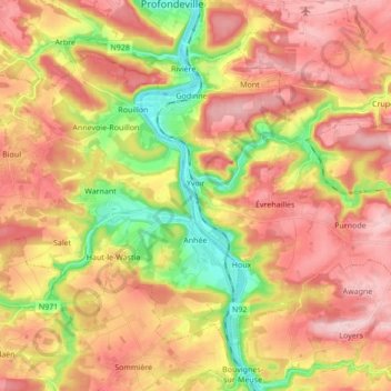
Name: Yvoir topographic map, elevation, terrain.
Location: Yvoir, Dinant, Namur, Wallonia, 5530, Belgium (50.28078 4.85375 50.36409 5.02479)
Average elevation: 199 m
Minimum elevation: 79 m
Maximum elevation: 294 m