
Province of Puerto Inca topographic map
Interactive map
Click on the map to display elevation.
About this map
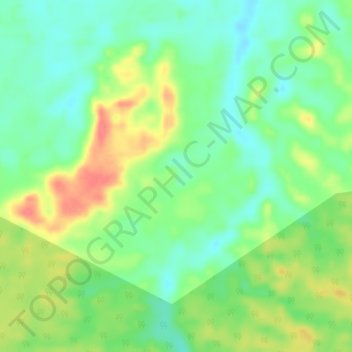
Name: Province of Puerto Inca topographic map, elevation, terrain.
Location: Province of Puerto Inca, Puerto Inca, Huánuco, Peru (-9.41657 -75.16391 -9.37657 -75.12391)
Average elevation: 234 m
Minimum elevation: 210 m
Maximum elevation: 271 m