
Sandoval County topographic map
Interactive map
Click on the map to display elevation.
About this map
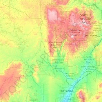
Name: Sandoval County topographic map, elevation, terrain.
Location: Sandoval County, New Mexico, United States (35.19808 -107.62643 36.21983 -106.24483)
Average elevation: 2,111 m
Minimum elevation: 1,518 m
Maximum elevation: 3,496 m