
La Estanca topographic map
Interactive map
Click on the map to display elevation.
About this map
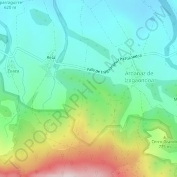
Name: La Estanca topographic map, elevation, terrain.
Location: La Estanca, Izagaondoa, Navarra, España (42.72408 -1.44224 42.74408 -1.42224)
Average elevation: 690 m
Minimum elevation: 555 m
Maximum elevation: 1,015 m