
Lacombe topographic map
Interactive map
Click on the map to display elevation.
About this map
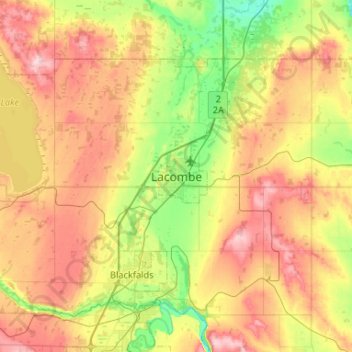
Name: Lacombe topographic map, elevation, terrain.
Location: Lacombe, City of Lacombe, Alberta, T4L 1W8, Canada (52.31275 -113.89322 52.63275 -113.57322)
Average elevation: 895 m
Minimum elevation: 811 m
Maximum elevation: 1,004 m