
Grand Pass topographic map
Interactive map
Click on the map to display elevation.
About this map
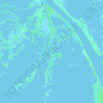
Name: Grand Pass topographic map, elevation, terrain.
Location: Grand Pass, Plaquemines Parish, Louisiana, 70091, USA (29.13674 -89.35143 29.27590 -89.34036)
Average elevation: 0 m
Minimum elevation: -4 m
Maximum elevation: 5 m
Other topographic maps
Click on a map to view its topography, its elevation and its terrain.
Lower Ninth Ward
USA > Louisiana > Lower Ninth Ward
Lower Ninth Ward, Orleans Parish, Louisiana, 70032, USA
Average elevation: 1 m
Kiroli Woods
USA > Louisiana > Kiroli Woods
Kiroli Woods, Ouachita Parish, Louisiana, LA 71291, USA
Average elevation: 34 m