
Leiro topographic map
Interactive map
Click on the map to display elevation.
About this map
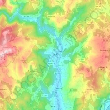
Name: Leiro topographic map, elevation, terrain.
Location: Leiro, Ourense, Galicia, Spain (42.33532 -8.21729 42.40400 -8.09979)
Average elevation: 307 m
Minimum elevation: 76 m
Maximum elevation: 631 m