
El Rosario topographic map
Interactive map
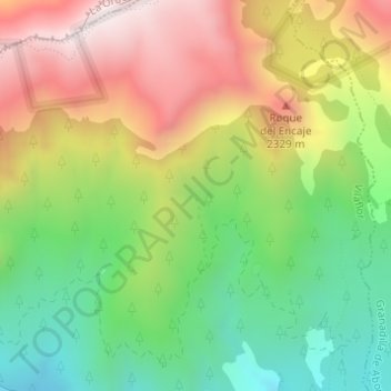
Click on the map to display elevation.
About this map
Name: El Rosario topographic map, elevation, terrain.
Average elevation: 2,045 m
Minimum elevation: 1,690 m
Maximum elevation: 2,473 m
Other topographic maps
Click on a map to view its topography, its elevation and its terrain.
Vilaflor
Spain > Canary Islands > Vilaflor
Vilaflor, Santa Cruz de Tenerife, Canary Islands, Spain
Average elevation: 1,449 m