
Pottuvil topographic map
Interactive map
Click on the map to display elevation.
About this map
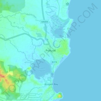
Name: Pottuvil topographic map, elevation, terrain.
Location: Pottuvil, Ampara District, Eastern Province, 32506, Sri Lanka (6.83812 81.78900 6.91812 81.86900)
Average elevation: 4 m
Minimum elevation: -3 m
Maximum elevation: 36 m