
Perrero topographic map
Interactive map
Click on the map to display elevation.
About this map
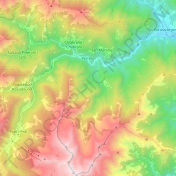
Name: Perrero topographic map, elevation, terrain.
Location: Perrero, TO, Piemont, Italy (44.85946 7.07473 44.97696 7.18645)
Average elevation: 1,561 m
Minimum elevation: 588 m
Maximum elevation: 2,843 m