
Lons-le-Saunier (canton de Lons-le-Saunier-1) topographic map
Interactive map
Click on the map to display elevation.
About this map
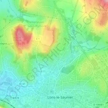
Name: Lons-le-Saunier (canton de Lons-le-Saunier-1) topographic map, elevation, terrain.
Average elevation: 290 m
Minimum elevation: 242 m
Maximum elevation: 382 m