
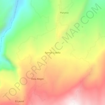
Ramon Castilla topographic map
Interactive map
Click on the map to display elevation.
About this map
Name: Ramon Castilla topographic map, elevation, terrain.
Location: Ramon Castilla, Province of Utcubamba, Amazonas, Peru (-5.92820 -78.28590 -5.88820 -78.24590)
Average elevation: 1,361 m
Minimum elevation: 866 m
Maximum elevation: 1,829 m