
Rudramata topographic map
Interactive map
Click on the map to display elevation.
About this map
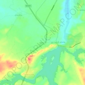
Name: Rudramata topographic map, elevation, terrain.
Location: Rudramata, Bhuj Taluka, Kachchh, Gujarat, 370001, India (23.35553 69.68452 23.39553 69.72452)
Average elevation: 43 m
Minimum elevation: 22 m
Maximum elevation: 74 m