
Mukutmanipur topographic map
Interactive map
Click on the map to display elevation.
About this map
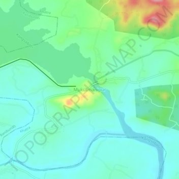
Name: Mukutmanipur topographic map, elevation, terrain.
Location: Mukutmanipur, Khatra, Bankura, West Bengal, 722135, India (22.94256 86.76752 22.98256 86.80752)
Average elevation: 125 m
Minimum elevation: 94 m
Maximum elevation: 223 m