
Kunwar topographic map
Interactive map
Click on the map to display elevation.
About this map
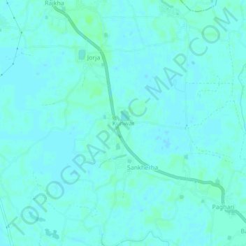
Name: Kunwar topographic map, elevation, terrain.
Location: Kunwar, Baheri, Darbhanga, Bihar, 847234, India (25.98326 85.97233 26.02326 86.01233)
Average elevation: 46 m
Minimum elevation: 44 m
Maximum elevation: 50 m