
Kundara topographic map
Interactive map
Click on the map to display elevation.
About this map
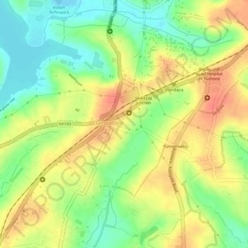
Name: Kundara topographic map, elevation, terrain.
Location: Kundara, Kollam, Kerala, India (8.94827 76.66297 8.96344 76.68612)
Average elevation: 32 m
Minimum elevation: -3 m
Maximum elevation: 56 m