
Manjari topographic map
Interactive map
Click on the map to display elevation.
About this map
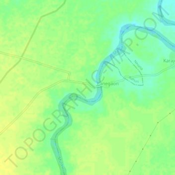
Name: Manjari topographic map, elevation, terrain.
Location: Manjari, Rahuri, Ahmednagar, Maharashtra, 413721, India (19.46159 74.77182 19.50159 74.81182)
Average elevation: 493 m
Minimum elevation: 482 m
Maximum elevation: 500 m