
Bhanukota topographic map
Interactive map
Click on the map to display elevation.
About this map
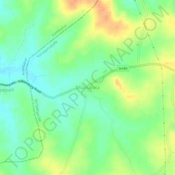
Name: Bhanukota topographic map, elevation, terrain.
Location: Bhanukota, Kanaganapalle, Anantapur, Andhra Pradesh, India (14.45874 77.35380 14.49874 77.39380)
Average elevation: 519 m
Minimum elevation: 502 m
Maximum elevation: 541 m