
Deraniyagala topographic map
Interactive map
Click on the map to display elevation.
About this map
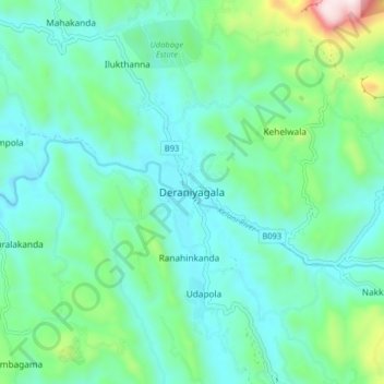
Name: Deraniyagala topographic map, elevation, terrain.
Location: Deraniyagala, Kegalle District, Sabaragamuwa Province, Sri Lanka (6.88721 80.29855 6.96721 80.37855)
Average elevation: 222 m
Minimum elevation: 52 m
Maximum elevation: 893 m