
Rampur topographic map
Interactive map
Click on the map to display elevation.
About this map
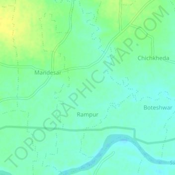
Name: Rampur topographic map, elevation, terrain.
Location: Rampur, Mohadi Taluka, Bhandara District, Maharashtra, India (21.27067 79.61720 21.30221 79.63632)
Average elevation: 262 m
Minimum elevation: 254 m
Maximum elevation: 274 m