
Kihal topographic map
Interactive map
Click on the map to display elevation.
About this map
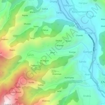
Name: Kihal topographic map, elevation, terrain.
Location: Kihal, Sanch, Chamba, Himachal Pradesh, 176312, India (32.54767 76.08056 32.58767 76.12056)
Average elevation: 1,132 m
Minimum elevation: 776 m
Maximum elevation: 1,942 m