
Bujanuru topographic map
Interactive map
Click on the map to display elevation.
About this map
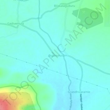
Name: Bujanuru topographic map, elevation, terrain.
Location: Bujanuru, Gadivemula, Kurnool, Andhra Pradesh, 518508, India (15.64767 78.41701 15.68767 78.45701)
Average elevation: 249 m
Minimum elevation: 235 m
Maximum elevation: 307 m