
Thank you for supporting this site ❤️
Make a donation
Make a donation
Nathpa Jhakri Dam topographic map
Click on the map to display elevation.
Thank you for supporting this site ❤️
Make a donation
Make a donation
About this map
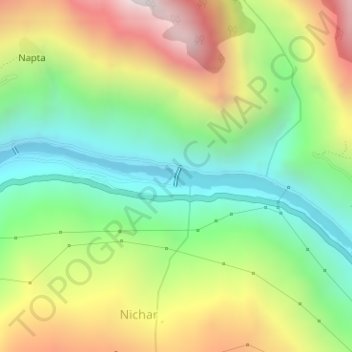
Name: Nathpa Jhakri Dam topographic map, elevation, terrain.
Location: Nathpa Jhakri Dam, Nichar, Kinnaur, Himachal Pradesh, India (31.56335 77.97982 31.56492 77.98047)
Average elevation: 1,958 m
Minimum elevation: 1,452 m
Maximum elevation: 2,694 m
Thank you for supporting this site ❤️
Make a donation
Make a donation