
Indira Sagar topographic map
Interactive map
Click on the map to display elevation.
About this map
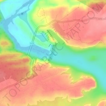
Name: Indira Sagar topographic map, elevation, terrain.
Location: Indira Sagar, Punasa Tahsil, Khandwa, Madhya Pradesh, India (22.28173 76.47027 22.28722 76.47262)
Average elevation: 253 m
Minimum elevation: 193 m
Maximum elevation: 295 m
Other topographic maps
Click on a map to view its topography, its elevation and its terrain.