
Thank you for supporting this site ❤️
Make a donation
Make a donation
Golegaon topographic map
Click on the map to display elevation.
Thank you for supporting this site ❤️
Make a donation
Make a donation
About this map
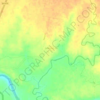
Name: Golegaon topographic map, elevation, terrain.
Location: Golegaon, Jalgaon (Jamod), Buldhana, Maharashtra, India (20.94606 76.48431 20.94830 76.48701)
Average elevation: 237 m
Minimum elevation: 213 m
Maximum elevation: 250 m
Thank you for supporting this site ❤️
Make a donation
Make a donation