
Kerla topographic map
Interactive map
Click on the map to display elevation.
About this map
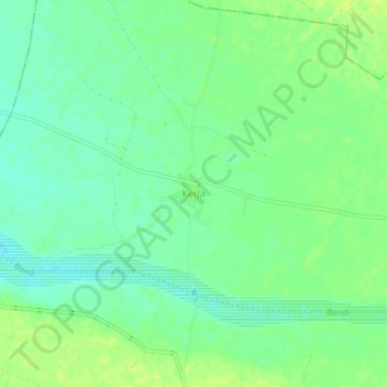
Name: Kerla topographic map, elevation, terrain.
Location: Kerla, Pali Tehsil, Pali, Rajasthan, India (25.77193 73.15212 25.81193 73.19212)
Average elevation: 199 m
Minimum elevation: 191 m
Maximum elevation: 206 m