
Sälen topographic map
Interactive map
Click on the map to display elevation.
About this map
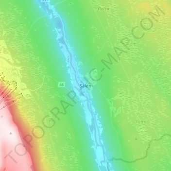
Name: Sälen topographic map, elevation, terrain.
Location: Sälen, Malung-Sälens kommun, Dalecarlia, Sweden (61.11572 13.22941 61.19572 13.30941)
Average elevation: 514 m
Minimum elevation: 341 m
Maximum elevation: 894 m