
Subir topographic map
Interactive map
Click on the map to display elevation.
About this map
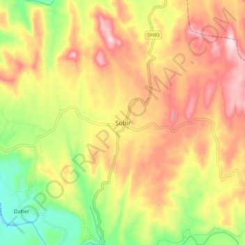
Name: Subir topographic map, elevation, terrain.
Location: Subir, Subir Taluka, The Dangs, Gujarat, 394716, India (20.88873 73.73379 20.96873 73.81379)
Average elevation: 411 m
Minimum elevation: 232 m
Maximum elevation: 569 m